Maps of Walterboro & Colleton County
September 25, 2019
Wednesday, September 25, 2019 - 1:00pm to 2:00pm
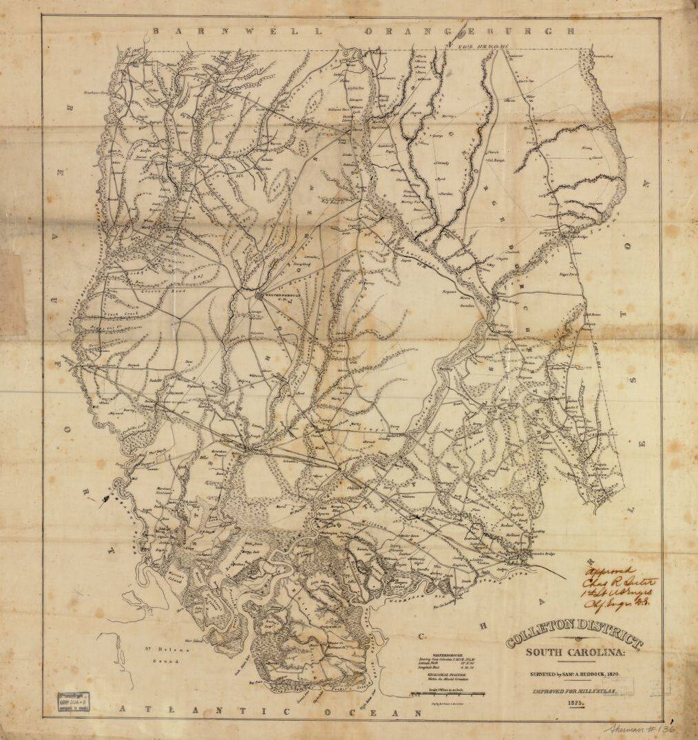
An 1879 map of Walterboro shows the destruction caused by the Cyclone of 1879. An 1898 map of the town shows livery stables, blacksmiths and wheelwright shops instead of auto shops. A 1953 map of the town shows the new sub-division of Forest Hills. Come explore a variety of maps with local historian, Elizabeth Laney, showcasing the history of the town of Walterboro and Colleton County including maps from the 1820’s through 1990’s – a century and a half of maps! Participants will receive copies of several of the maps to take home as well as a list of websites where they can access high quality digital copies of the maps.
This program is great for Adults and Kids, age 10+. Free and open to the public.
Location:
Colleton Museum & Farmers Market
506 E Washington St, Walterboro, SC 29488
https://www.facebook.com/events/2372919326312063/